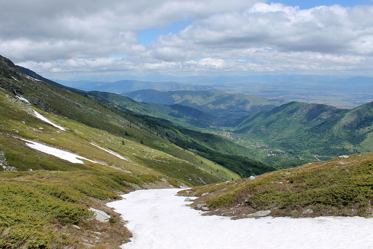
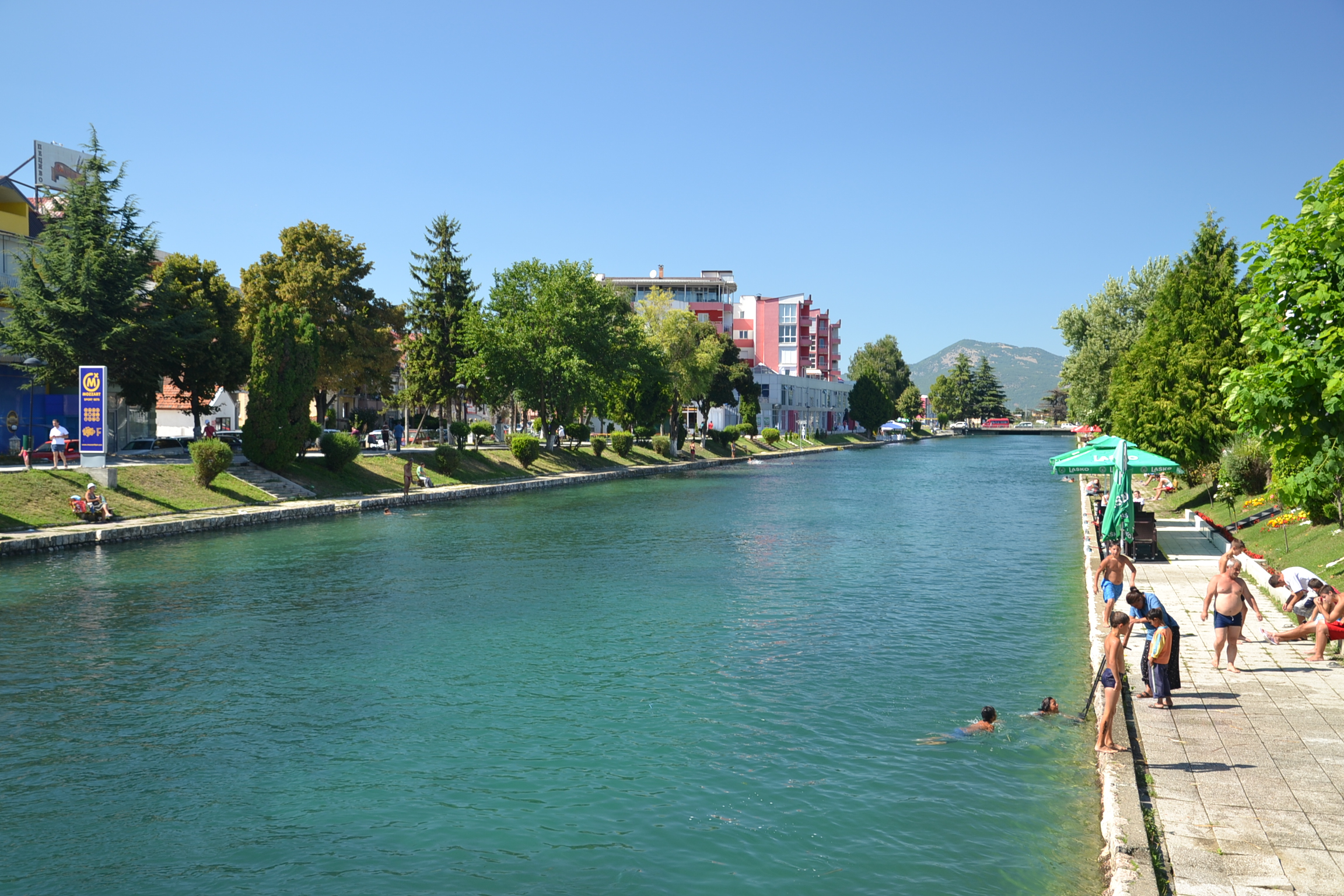
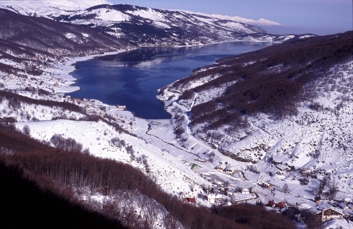
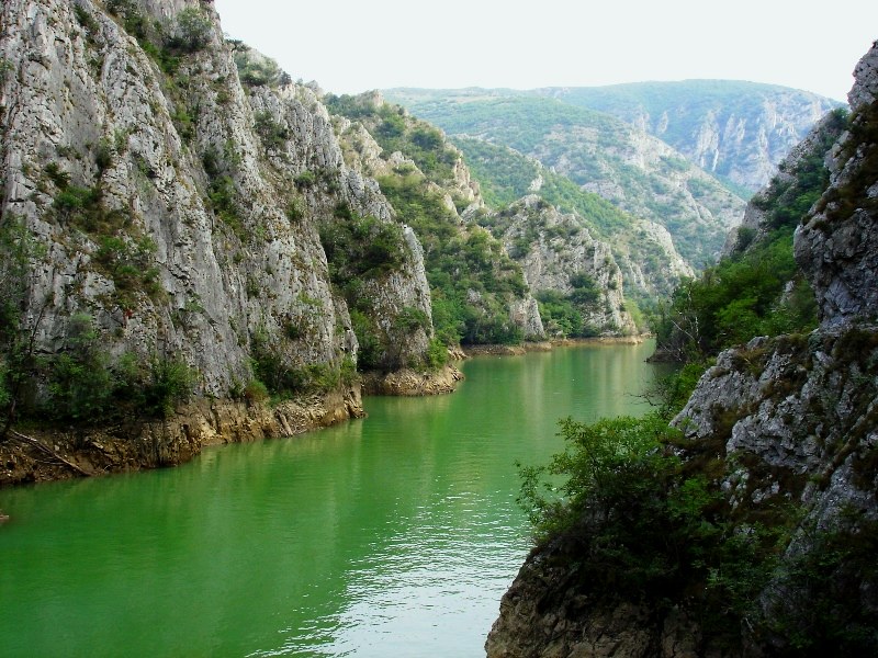
Matka is a canyon located west of central Skopje, North Macedonia. Covering roughly 5,000 hectares, Matka is one of the most
popular outdoor destinations in Macedonia and is home to several medieval monasteries. The Matka Lake within the Matka Canyon
is the oldest artificial lake in the country.There are ten caves at Matka Canyon, with the shortest in length being 20 metres
(65.6 feet) and the longest being 176 metres (577.4 feet). The canyon also features two vertical pits, both roughly extending 35 metres (114.8 feet) in depth.
Vrelo Cave
Located on the right bank of the Treska River, Vrelo Cave was listed as one of the top 77 natural sites in the world in the New7Wonders of Nature project.
Vrelo Cave has many stalactites including a large one in the middle of the cave known as the "Pine Cone" due to its shape.
There are two lakes at the end of the cave, with one larger than the other. The smaller lake is 8 metres (26.2 feet) at its longest
length and 15 metres (49.2 feet) in depth at its deepest point. The larger lake is 35 metres (114.8 feet) at its longest length, and
18 metres (59 feet) at its deepest point.
Though the exact depth of the cave is unknown, some speculate that it could be the deepest underwater cave in the world.
The cave can only be reached by water either by a boat or kayak.
Due in large part to its proximity to Skopje, Matka Canyon is a popular destination for citizens and tourists. The canyon is one of North Macedonia's foremost areas
for alpine hiking. The climbing season begins around Easter and ends in November. Kayaking on the Treska River is a popular activity, as are fishing, hunting, and swimming.
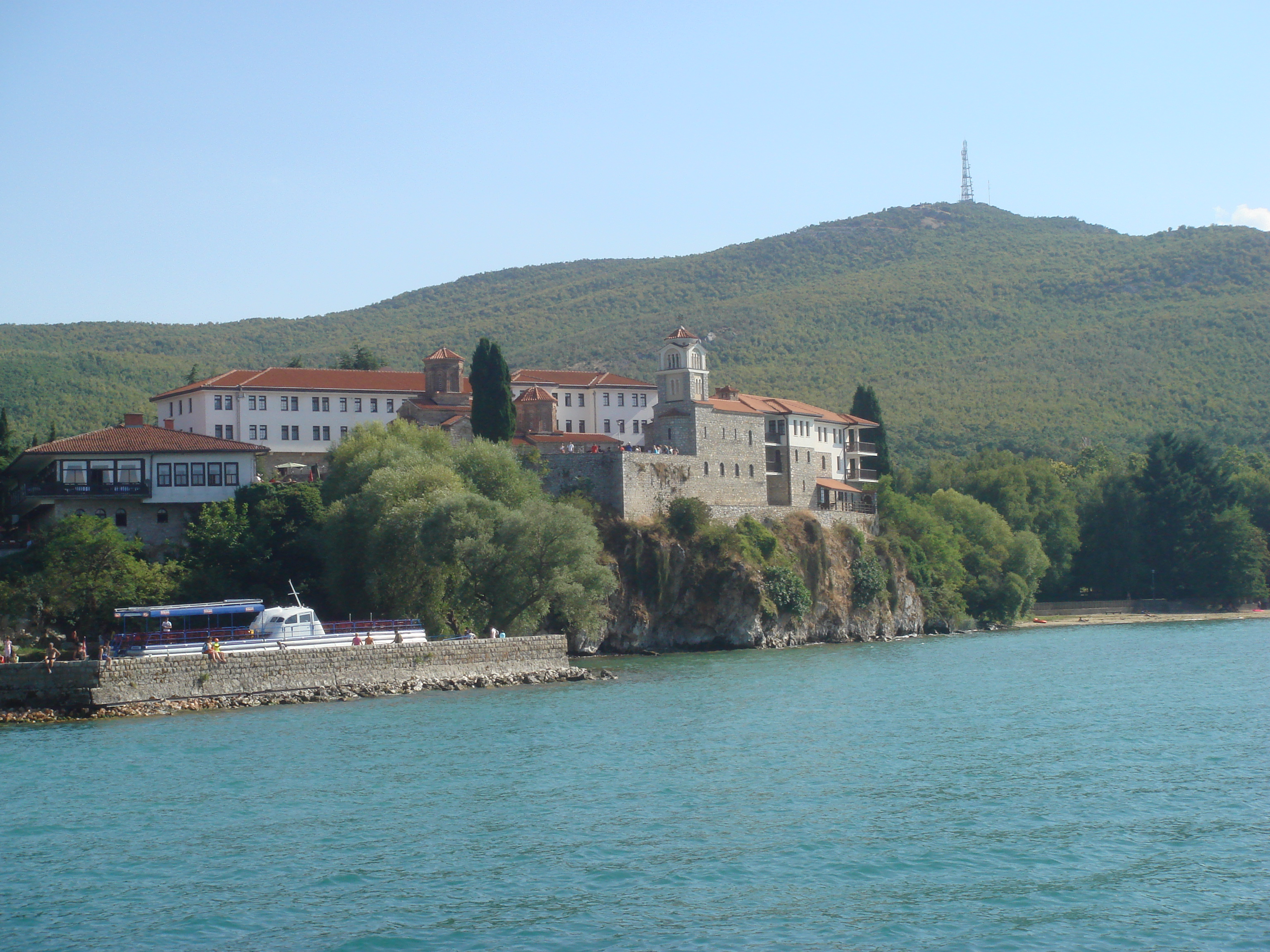
The canyon area is home to several historic churches and monasteries.
Pelister National Park is a national park in the Municipality of Bitola, Macedonia. The park is located in the Baba Mountain massif and covers an area of
171.5 square kilometres (66.2 sq mi). The altitude of the park varies between 927 and 2,601 m (3,041 and 8,533 ft) above sea level and is filled with exquisite
flora and fauna. Among flora elements, the presence is especially significant of the five-needle pine molica, Pinus peuce - a unique species of Cenozoic age being
present on only a few mountains in the Balkan Peninsula. The beauty of the landscape is enhanced by the
diverse wildlife: bears, roe deer, wolves, chamois, deer, wild boars, rabbits, several species of eagles, partridges, red-billed choughs, and the endemic Macedonian
Pelagonia trout.
Pelister is the oldest and second largest national park in North Macedonia after Mavrovo. It is one of the leading tourist areas in the country,
since it is a well-known ski resort, along with Ohrid, Prespa, Dojran, Popova Šapka, and Kruševo. From Pelister one can see the Pelagonia valley,
Lake Prespa, mountains Nidže, Galičica, Jakupica, and the city of Bitola. Pelister is one of the most southern mountains in the Balkans that has an
alpine character. Pelister is also known for its two mountain lakes, which are called Pelister's Eyes. The Big lake is 2,218 metres
(7,277 ft) above the sea level while the Small lake is 2,180 metres (7,150 ft) high. Here are the sources of many rivers. The climate in Pelister National Park is diverse.
Ohrid is a small resort city on the hilly shores of Lake Ohrid in the southwest of the Republic of North Macedonia. In the city’s compact old town, medieval churches,
monasteries and
open-air ruins stand alongside traditional houses with red-tiled roofs. The massive walls of the centuries-old Samoil’s Fortress, at the top of the hill, dominate
the city skyline.
Lake Ohrid straddles the mountainous border between southwestern part of Macedonia and eastern Albania. It is one of Europe's deepest and oldest lakes, with a unique
aquatic ecosystem of worldwide importance, with more than 200 endemic species.
Kruševo is a mountainous town. Situated at an altitude of 1,350 metres (4,430 ft), Kruševo is the highest town in North Macedonia. Kruševo is known for its 19th-century
domestic architecture. The town has old and more recent houses built in the style of old Macedonian architecture.
It is home to Mečkin Kamen, a historical landmark which marks the spot of the uprising of 1903. On August 2 every year, it is the site of the traditional
Macedonian Independence Day celebrations, which are attended by the President of Macedonia and other Macedonian political leaders.
Kruševo is also home to Makedonium monument, dedicated to the Ilinden Uprising and the Kruševo Republic and many museums of the Ilinden Uprising.
The towns galleries include an exhibit of 19th century icons and a memorial to Macedonian painting Nikola Martinovski who was born in this town.
Because of its elevation, Kruševo is one of Macedonia’s winter sports destinations.
Dojran was a city on the west shore of Dojran Lake in the south-east part of the Republic of North Macedonia. Today, it is a collective name for two villages
on the territory of the ruined city: Nov Dojran (settled from the end of World War I to World War II) and Star Dojran, which contains both
old ruins and recent construction, especially hotels, resorts and restaurants. Dojran is 170 km from Skopje, 59 km from Strumica and some 30 km from Gevgelija.
The nearest airports are Thessaloniki International Airport and Skopje Airport.
The old city of Dojran was totally ruined during the First World War and after the Second World War the modern villages were established.
Dojran Lake is a lake with an area of 43.1 km2 (16.6 sq mi) shared between North Macedonia (27.3 km2, 10.5 sq mi) and Greece (15.8 km2, 6.1 sq mi).
To the west is the city of Nov Dojran (Нов Дојран), to the east the village of Mouries, to the north the mountain Belasica/Beles and to the south the Greek
town of Doirani. The lake has a rounded shape, a maximum depth of 10 m (33 ft)
and a north-to-south length of 8.9 km (5.5 mi) and is 7.1 km (4.4 mi) at its widest, making it the third largest lake partially in North Macedonia after
Lake Ohrid and Lake Prespa.
Struga is a town and popular tourist destination situated in the south-western region of North Macedonia, lying on the shore of Lake Ohrid.
A natural phenomenon. The river Crn Drim flows through the town. It has crystal clear waters. The source of the river Crn Drim are the springs that are very close
to the monastery of St. Naum on Lake Ohrid.
The springs are often referred to as the Springs of Sveti Naum. The water actually originates from Lake Prespa on the other side of
Mount Galičica as an underground river and then bubble up near the Monastery of Sveti Naum.
At Debar there is a hydroelectric plant with a dam that forms Lake Debar and is fed by the Black Dream.
Once known as "Enchalon" -Eel, Struga has a population of approximetly 15 000 inhabitants. Struga's location on Lake Ohrid makes it
a slightly quieter and more peaceful experience than the more bustling Ohrid. When visiting this quiet town, there are a few other places that show
the beauty and culture, like the clay chamber pots at the house of the Miladinovci Brothers, the old Struga bazaar, the century old churches and mosques.
In summers you can enjoy the beatiful beaches and
there's also very beautiful bars located near the lake, the river and in the center of Struga.
Širok Sokak Широк Сокак, meaning "Wide Alley", from the Turkish word for "Street" is a long pedestrian street in Bitola, Republic of North Macedonia.
The street is considered to be the centre of Bitola. It roughly starts
at Magnolia Square and ends in the City Park. It is graced with neo-classical buildings that contain stores, cafés and restaurants.
Širok Sokak is also home to several consulates.
Samuel's Fortress,Самуилова тврдина is a fortress in the old town of Ohrid, North Macedonia. Was the capital of Berzitia during the rule of Tsar Samuel of Berzitia.
Today, this historical monument is a major tourist attraction and was heavily restored in 2003 with the addition of entirely new battlements where none had survived.
Mavrovo, is a valley region in the northwest of the Republic of Macedonia. It is home to Mavrovo National Park and a winter sports center.
Some of the villages and smaller hamlets include: Mavrovo, Nikiforovo, Leunovo, and Mavrovi Anovi. This micro region is named Mavrovo after the
most populated settlement in the region, the village of Mavrovo.
The region's location at Bistra mountain and the Lake Mavrovo have helped it grow into a year-round tourist center. Mavrovo is the most popular ski center in Macedonia.
The ski center named Zare Lazareski has two double chair lifts, one single lift chair with over 1100 person capacity per hour, several ski lifts
with synchronized connection and a capacity of over 5000 persons per hour. The ski center has also received a renovation that increased the capacity
of ski lifts and ski chairs. The ski trails start at 1960 m and end at 1250 m above sea level. There are plans to build a ski jumping facility in North Macedonia,
possibly in Mavrovo.
The Mavrovo lake lies at an altitude of 1220 m. It is 12 km long, 3 km wide and covers an area of 13.3 square kilometers. The coast is 24 km long.
The deepest measured spot of the lake is 48 m deep.
The Monastery of Saint Naum is an Eastern Orthodox monastery in North Macedonia, named after the medieval Saint Naum who founded it. It is
situated along Lake Ohrid, 29 kilometres south of the city of Ohrid. The Lake Ohrid area, including St Naum, is one of the most popular tourist destinations in North Macedonia.